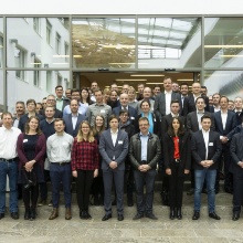
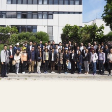
Welcome to the Institute of Spatial and Regional Planning!
The courses at the institute are designed to teach students tools and methods as well as process-related knowledge in spatial and environmental planning and risk management. The focus is on the transfer of methodological competence related to analysis and assessment of spatial development trends, -structures and uses. At the same time, courses cover the legal basis of spatial and environmental planning.
The institute has a special focus on empirical methods in impact-oriented spatial and environmental research. It aims at supporting an inter- and transdisciplinary approach that connects the research subjects of planning and engineering as well as environmental, economic and social sciences. An additional focus is on international comparative studies that deal with selected questions of environmental change, spatial development and planning systems.
Against this background we develop in cooperation with national and international expert networks (IPCC, IRDR, ARL) strategies that are designed to address new challenges and risks of environmental and social transformation processes in a timely manner.
Current and future main research areas will be (amongst others):
- Advancement of concepts like resilience and adaptivity; development of tools to measure and assess new vulnerabilities and risks in spatial and environmental planning.
- Development of suitable strategies to support resilience and identify transformation processes in urban, periurban and rural areas.
- Operationalization of the concept of critical infrastructures including approaches to measure their criticality, particularly in terms of securing basic functions (living, working, mobility, recreation,...) in space.
- Development of new methods that deal with uncertainties in future environmental and socio-economic trends, in combination with their consequences for legally binding spatial and environmental plans and infrastructure projects.
- Adapting existing formal procedures and assessment methods (SEA, EIA) to new challenges.
- Enhance the value of new spatial datasets and related analysis tools for planning.
- Examination of approaches that deal with conflicts in objectives, i.e. climate protection and climate adaptation.
- Evaluation of the role of spatial planning in the implementation of social welfare objectives as well as newer EU-guidelines (e.g. EU-flood risk management guideline).
- Consideration of the adaptivity of urban structures as well as transport and planning systems for planning and assessment methods.
- Advancement of public health issues in spatial and infrastructure planning.


