Demonstration Projects of Spatial Planning: “Preventive risk management in regional planning” – Model region Stuttgart (MORO Risk)
Using the example of the model region Stuttgart, IREUS is developing a concept of how to systematically identify and develop regional planning risk management information, strategies and measures, and how to incorporate them into existing formal and informal regional planning instruments.
In the MORO Risk project, the preventative regional planning risk management focuses on regional hotspots of spatial risk due to extreme events and climate change, as well as on critical infrastructures, which are of key importance for the economically strong region of Stuttgart and for the functioning of the division of labor in the region.The goal is to develop risk profiles and precautionary strategies for risk prevention and mitigation, and to test how measures relating to planning risk management should be located at the level of regional planning and at the level of municipal planning. In this context, further development of selected formal and informal instruments will be carried out, giving special consideration to the amendment of the environmental assessment (Umweltprüfung) and the amendment of the German Building Code (BauGB) or the Spatial Planning Law (ROG).Through a continuous exchange between science and practice, and close cooperation with the Verband Region Stuttgart, with authorities of the districts and municipalities, as well as with selected experts, effective implementation of risk management should be enabled.
Partners:
- University of Stuttgart, Institute of Spatial and Regional Planning
- Verband Region Stuttgart
- Plan + risk consult – Prof. Dr. Greiving & Partner, Ingenieurgesellschaft für Raumplanung und Umweltforschung
- agl Hartz • Saad • Wendl, Landschafts-, Stadt- und Raumplanung
Sponsors:
Federal Institute for Research on Building, Urban Affairs and Spatial Development (BBSR)
Federal Ministry of Transport and Digital Infrastructure (BMVI)
Project management:
Verband Region Stuttgart
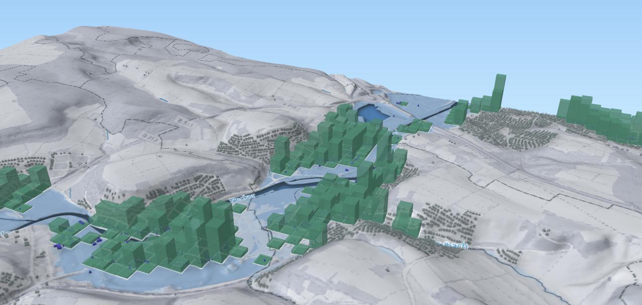
Datengrundlagen
 Geländemodell (DGM5m): Geobasisdaten © Landesamt für Geoinformation und Landentwicklung Baden-
 Württemberg (www.lgl-bw.de)
 Bevölkerung /ha: Zensus 2011, © Statistisches Bundesamt, Wiesbaden 2015
 Überflutungstiefen: Hochwassergefahrenkarten, Landesanstalt für Umwelt Baden-Württemberg, 2014
 Wohngebäude: ALKIS /NOrA): 01/2017 © Landesamt für Geoinformation und Landentwicklung Baden-
 Württemberg (www.lgl-bw.de)
Further Information:
- MORO Risiko (BBSR)
- Fallstudienregion Stuttgart (BBSR)
Contact:
Dipl.-Ing. Holger Sauter, M.Sc.
Julia Schiller, M.Sc.


